

17-Inch Marine Network GPS Chartplotter
[Search Related Products]
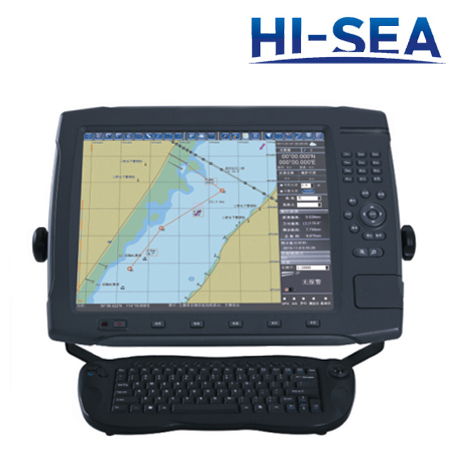
17-Inch Marine Network GPS Chartplotter
17-Inch Marine Network GPS Chartplotter is designed under years of professional production experience of navigation equipment, and it is a newly integrated navigation system. It integrates functions of GPS, AIS, ARPA technology, compass, depth finder, etc. It meets the standards of IHOS-57 and S-63, so the quality is guaranteed. This product is an excellent helper for you and benefits you a lot. So, don’t wait, please contact us right now.
Features
▪ Streamline shell, it can be effectively waterproof, stock proof and corrosion-proof
▪ High speed low power consumption CPU
▪ Mass storage
▪ 3G network
▪ No time-delay alarm
▪ Real time upgrade
Specifications
|
Project |
Data |
|
Display size |
17’’ Color LCD |
|
Resolution |
1280×1024 |
|
Tracks |
More than 100,000 |
|
Routes |
More than 100,000 waypoints; more than 10,000 routes |
|
Chart display |
Navigation mark, reef, dangerous waters, shipwrecks, anchorage ground, prohibited area, isobath, place name,etc |
|
Chart data format |
S57, S63, CJ57, CJ63 |
|
Language |
Chinese Simplified, English |
|
Alarms |
Arrival, off-course, |
|
CPU |
1.6G |
|
Power supply |
DC 10~30V |
|
Average power consumption |
<40W |
|
Working temperature |
-20~+60℃ |
|
External Interface |
Three USB ports, one VGA output ports, two RS485 serial ports, one VHF antenna port, two GPS antenna ports |
|
Internal GPS |
Received frequency: 1575.42MHz Reception channel: 20 parallel channels Reception mode: C/A code Positional accuracy: <10m |
|
Internal AIS |
To show MMSI, name, location, course, speed, ship type,etc |
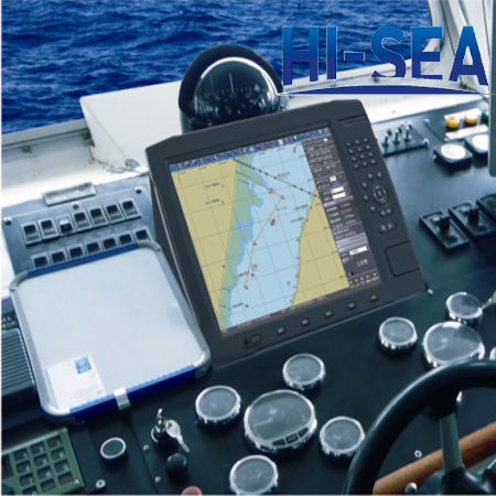
Product Photo Show

Interconnection Diagram
Related products for "17-Inch Marine Network GPS Chartplotter" 29 Products found
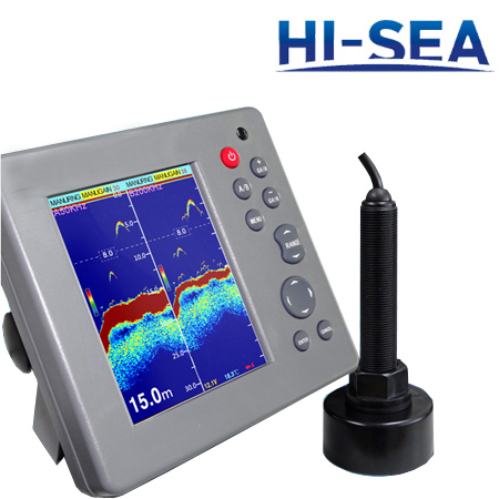 5.7-Inch Echo Fish Finder
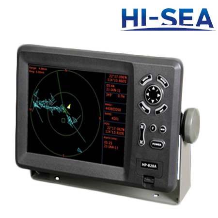 8-Inch Color Display GPS Plotter
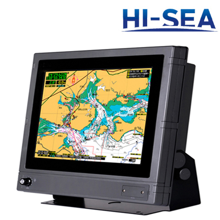 15-Inch Multi-Functional Marine GPS Navigator
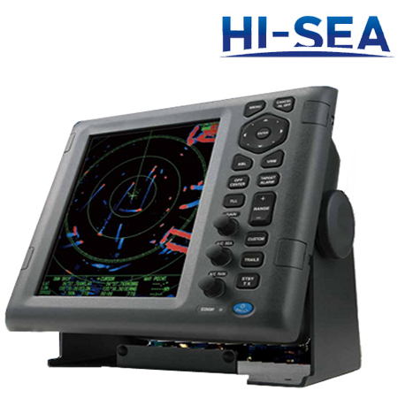 10.4-Inch Multi-Color LCD Radar
 5.6-Inch Depth Sounder And Fish Finder Combo
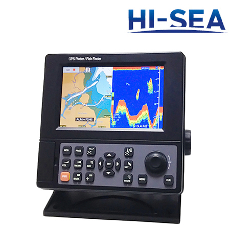 7-Inch LCD Chartplotter and Fish Finder Combo
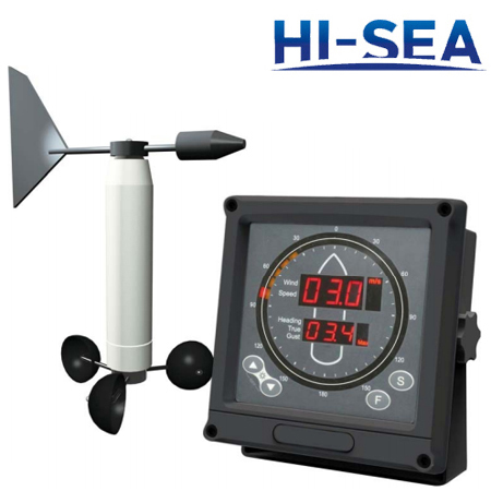 Marine Anemometer
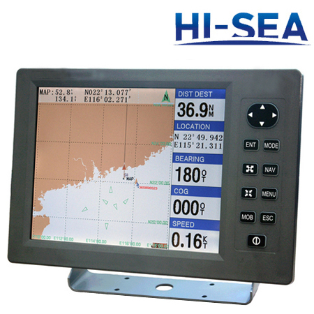 12-Inch GPS and Chartplotter Combo
 10.4-Inch Marine TFT Radar
 Depth Finder or Sounder
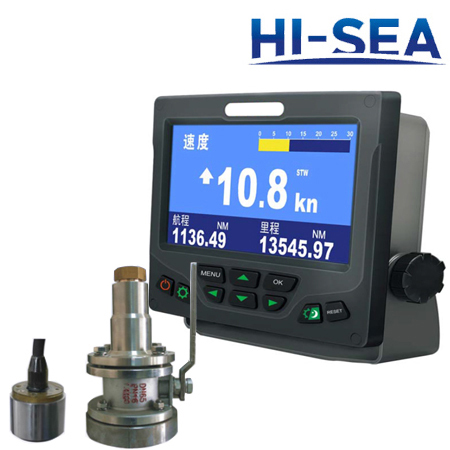 Speed Log
 8-Inch Marine HD Color GPS Navigator
 Fish Finder
  5.6-Inch HD Liquid Crystal Display Chartplotter
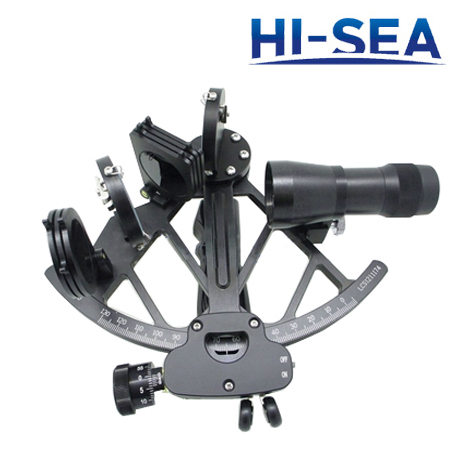 Marine Sextant
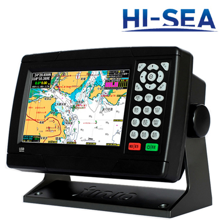 7-Inch Waterproof Marine GPS Navigator
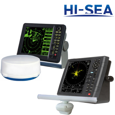 Marine Radar
 15-Inch HD Color Fish Finder
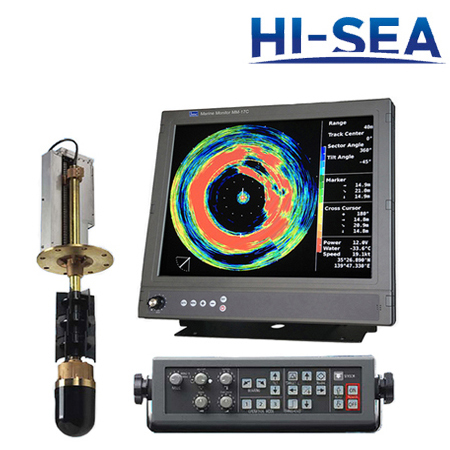 Marine Sonar
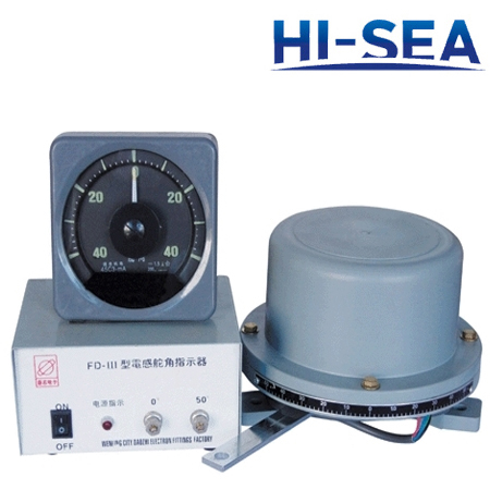 Rudder Angle Indicator
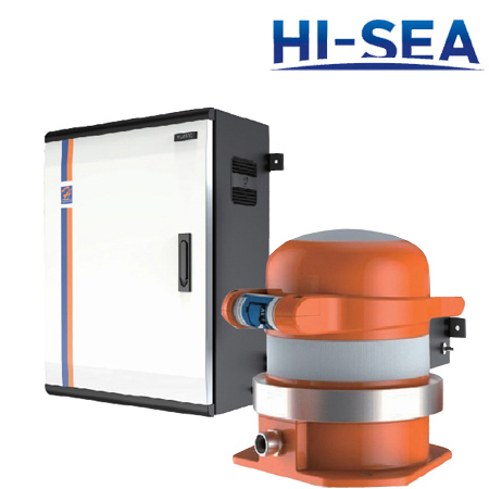 Voyage Data Recorder
 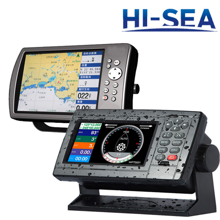 Marine GPS Navigator
 5-Inch Marine GPS Navigator
 10-Inch LCD Digital Fishfinder
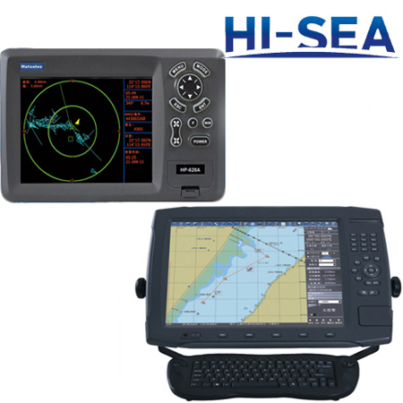 Marine Chartplotter
 12-Inch Marine Digital Radar
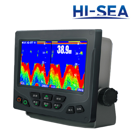 7-Inch TFT Dual-Frequency Fish Finder
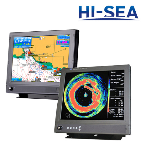 Marine Navigation Equipment
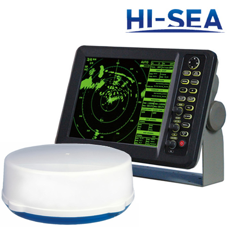 12-Inch HD Marine Radar
