


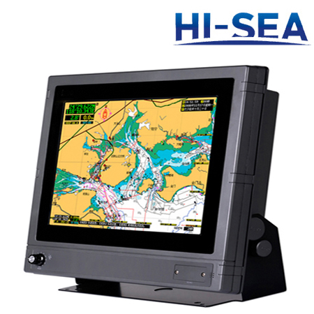
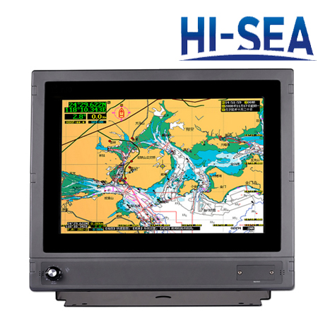
15-Inch Multi-Functional Marine GPS Navigator
[Search Related Products]
15-Inch Multi-Functional Marine GPS Navigator
15-Inch Multi-Functional Marine GPS Navigator possesses the function of GPS navigator and marine chartplotter. The resolution of display is up to 1024×768, which shows images clearer. It equips large-capacity flush memory which stores more data. The base map is WGS-84, and the chart data includes marks, reefs, shipwrecks, dangerous waters, isobath,etc. these rich data improves safety of voyage. If you want to learn more about this product,please feel free to contact us.
Features
▪ To possess the function of GPS navigator and marine chartplotter
▪ 15’’ high resolution display
▪ Fast display of chart
▪ Regular upgrade of maps
▪ With AIS equipment connection port
Specifications
|
Project |
Data |
|
Display Size |
15’’ |
|
Resolution |
XVGA1024×768 |
|
GPS Receiver |
12 channels GPS |
|
Frequency |
1575.42MHz |
|
Updating Speed |
I time /second |
|
Waypoints |
6,000 points |
|
Tracks |
800 pieces |
|
Routes |
200 lines |
|
Data Interface |
NMEA0183/RS422 |
|
Power Supply |
DC 24V |
|
Working Temperature |
-15℃-+55℃ |
|
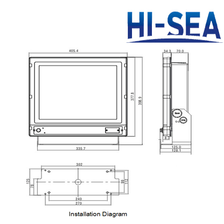
Dimension |
405.5×398.9×128 mm |
Parts list
▪ 15’’ Marine GPS Navigator
▪ GPS antenna
▪ 6 core data line
▪ Power line
▪ Installation fixed screw
15-Inch Multi-Functional Marine GPS Navigator
Related products for "15-Inch Multi-Functional Marine GPS Navigator" 29 Products found
 15-Inch HD Color Fish Finder
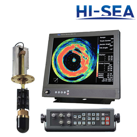 Marine Sonar
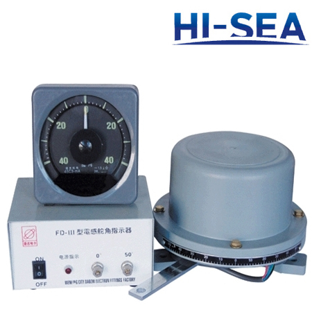 Rudder Angle Indicator
 Voyage Data Recorder
 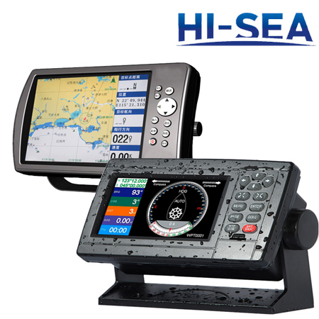 Marine GPS Navigator
 5-Inch Marine GPS Navigator
 10-Inch LCD Digital Fishfinder
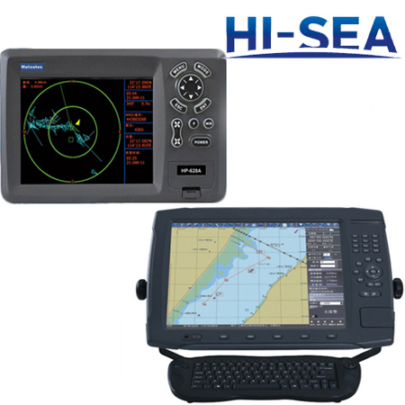 Marine Chartplotter
 12-Inch Marine Digital Radar
 7-Inch TFT Dual-Frequency Fish Finder
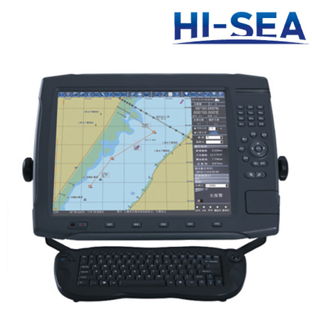 17-Inch Marine Network GPS Chartplotter
 Marine Navigation Equipment
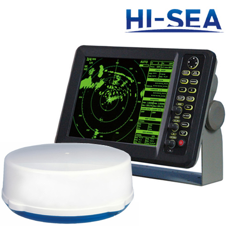 12-Inch HD Marine Radar
 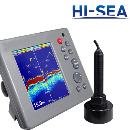 5.7-Inch Echo Fish Finder
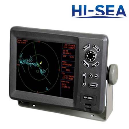 8-Inch Color Display GPS Plotter
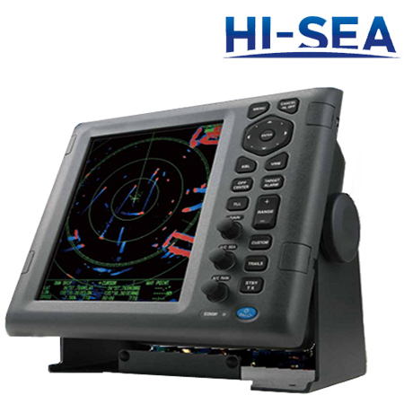 10.4-Inch Multi-Color LCD Radar
 5.6-Inch Depth Sounder And Fish Finder Combo
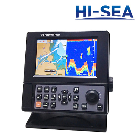 7-Inch LCD Chartplotter and Fish Finder Combo
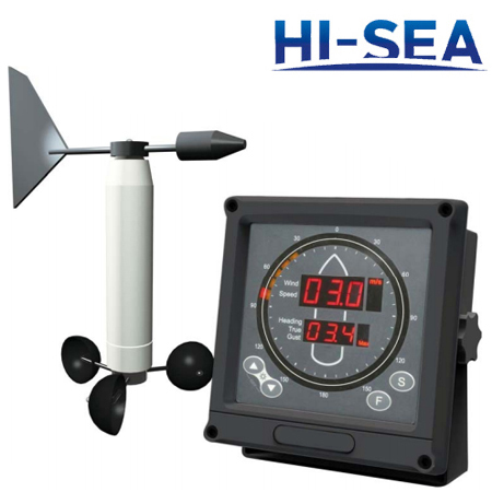 Marine Anemometer
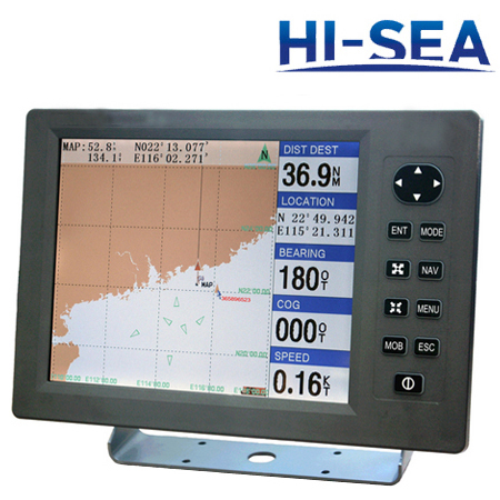 12-Inch GPS and Chartplotter Combo
 10.4-Inch Marine TFT Radar
 Depth Finder or Sounder
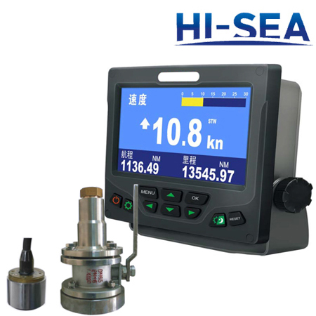 Speed Log
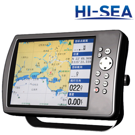 8-Inch Marine HD Color GPS Navigator
 Fish Finder
 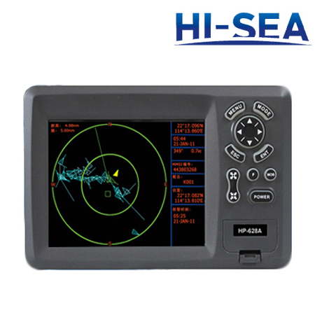 5.6-Inch HD Liquid Crystal Display Chartplotter
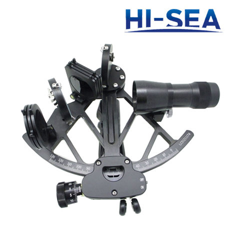 Marine Sextant
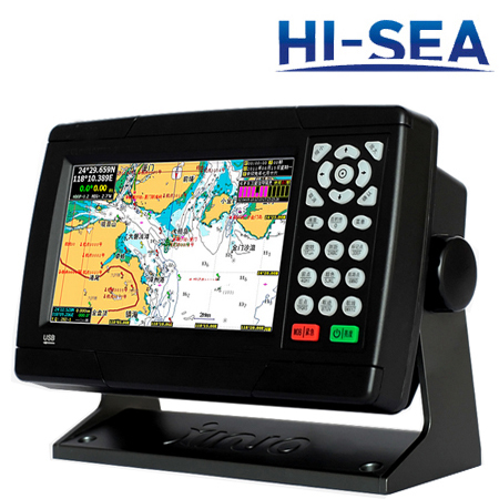 7-Inch Waterproof Marine GPS Navigator
 Marine Radar
